
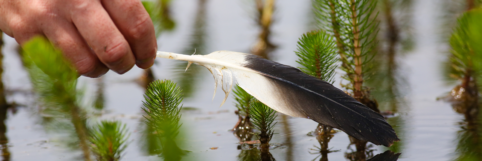
The Feather Map of Australia project collected waterbird feathers from wetlands around Australia. The feathers were analysed using nuclear techniques, such as mass spectrometry and high resolution X-ray fluorescence, to identify stable isotopes and minerals that are incorporated into feathers through the ingestion of food.
The analyses identified the differences in feathers from diverse parts of Australia, creating a Feather Map.
A joint project of the Australian Nuclear Science and Technology Organisation (ANSTO) and University of New South Wales (UNSW), the Feather Map is being used to track the movement of waterbirds around Australia from wetland to wetland based on an analysis of the feathers to identify stable isotopes and mineral elements.
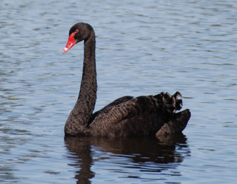
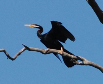
Wetlands around Australia are under threat from reduced river flows and flooding, drought, climate change and land use changes. Wetlands are habitats that are critical for Australia’s waterbirds. They provide places for nesting, feeding and roosting. For many species of waterbirds, flooded wetlands are essential for nesting. Without floods and river flows many waterbirds don’t breed. The project has collected information on which wetlands waterbirds use, how they use them and wetland health.
This information is of great interest to water and wetland managers, helping inform decision making regarding environmental flows and water management issues. It is also important for understanding the ecology and life cycles of waterbirds and waterbird populations to ensure that populations of Australia’s waterbirds are maintained or increased.
The project is an Australian first and provided a new non-invasive method of tracking waterbirds without the need for capturing birds.
Results from the project are available here.
Scientific permit and licence:s were obtained from each state and territory to allow the public to collect the feathers.


_ACS087980_171894_Native File.png)